All these islands have two things in common: They are immensely beautiful and are actually quite good for spotting! Of course, traffic won't blow you away on any of them, and it can in fact get a trifle repetitive and even boring if you stay longer than a few hours. However, the airports compensate for that by offering some great spotting positions and nice backdrops.
Important note: This spotting guide was put together from data collected on a single trip in Summer 2009 and it won't be updated anymore. This means that some data is likely to be outdated by the time of reading, especially the traffic information.
Isle of Man-Ronaldsway (IOM/EGNS)
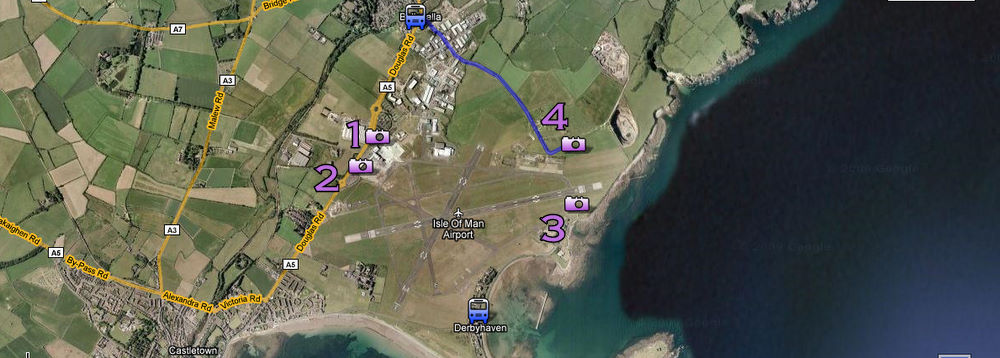 Click on map to view it in Google Maps, where you can zoom in.
The airport is located in the southeastern corner of the Isle of Man. It is served regularly (usually twice an hour) by busses to/from Port Erin in the very south of the Island and the capital, Douglas.
In my opinion, the best place to stay is in the quiet seaside town of Port Erin in the southwest of the island. Besides being very picturesque, it offers good transport connections not only to the airport (travel time: 20mins) but also to Derbyhaven where the best all-day spot is located.
- Traffic: Typical UK regional traffic, consisting of the homecarrier Manx2 (Let410, Do228, Metro), mixed with FlyBe (DHC8), and some occasional visits by Eastern (JS41), Blue Islands (JS32) and the like. Biz-jet visits may occur from time to time.
- Runways: Rwy26 is the main rwy in use. However, with winds from the south, Rwy21 is used by most of the smaller commuter planes since it offers shorter taxi times.
- Spotting Points:
- 1: The airport restaurant on the second floor (open to the public) offers great views of the eastern part of the apron. Since you're facing south, light is only good very late in summer though.
- 2: Passing either end of the terminal building, you can see the whole rest of the apron through the fence. Once again you're facing south (or southeast), so it's best to visit in the evening.
- 3: The best all-day spot is located in the garden of the Aeroclub's Restaurant. From here you are quite close to aircraft lining up and landing Rwy26 with a beautiful backdrop. Fence is only chest-high. Restaurant is open everyday except Monday from 9am. To get there, it's best to take Bus2A from Port Erin to Derbyhaven, which runs 4 times per day (weekdays only!). Otherwise, walking from Castletown or the Terminal should take around 45mins. Heat haze can be a problem in case of constant sunshine.
- 4: Evening spot for line-ups (and landings) Rwy 26, outside of Ballasalla. Light gets only good from about 6pm, but then you can stunning shots with the sea in the back. Heat haze is a bit of a problem. Note that there was some construction work going on there, so I don't know if this spot is still available by the time of reading.
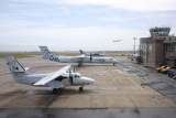 Apron overview from Spot 1 Apron overview from Spot 1 |
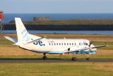 Evening view from Spot 1 Evening view from Spot 1 |
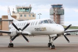 Spot 2 Spot 2 |
 Breakfast with a view, Spot 3 |
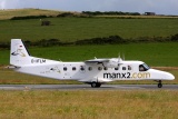 Backtrack 26 (Spot 3) Backtrack 26 (Spot 3) |
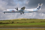 Landing 26 (Spot 3) Landing 26 (Spot 3) |
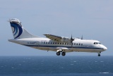 Landing 26 (Spot 4) Landing 26 (Spot 4) |
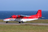 Backtrack/Lineup 26 (Spot 4) Backtrack/Lineup 26 (Spot 4) |
Jersey (JER/EGJJ)
 Click on map to view it in Google Maps, where you can zoom in.
Jersey Airport is the busiest of the 3 airports in the Channel Islands. It's located near the west coast of the island and is frequently served by busses. If you don't want to stay in the busy capital, St. Helier, a good choice is the "Oceanwalk Guesthouse" a bit east of St.Aubin on the south coast. Here you're on the main road leading to the the airport, shortening the travel time to about 10mins.
- Traffic: Nice mix of regional traffic (Aurigny Trislander & ATR, Blue Islands JS32/D328), UK airlines (Flybe, BA, EZY, Bmi Baby) and lots of biz-jets and small props.
- Runways: Jersey's only Runway is 09/27, while 27 is the most used direction. Intersection takeoffs are uncommon, even the Trislanders use full length.
- Spotting Points:
- 1: By far the best spotting point is on the terrace of the Jersey Aero Club's Restaurant (non-members welcome!), about a 15min walk from the terminal. From here you have a perfect view on the line-up area of Rwy27 directly in front of you, and you can also overlook the whole grass parking, where dozens of VFR-aircraft are standing. Light is good all day. Spot is best when Rwy27 is in use; however, even with 08 active, landing aircraft bigger than the 19-seaters usually exit at the end, right in front of you. Restaurant open 9-20, hot food served 9-14. Inside the restaurant you'll find free internet and a TV showing all arrivals including their ETA and regs.
- 2: On the airside (!) of the terminal, there is a viewing gallery overlooking almost the whole apron. Glass is pretty clean. Since you're generally facing west, a visit in the first half of the day is adviseable.
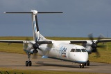 Taxiing (Spot 1) Taxiing (Spot 1) |
 Lined up 27 (Spot 1) Lined up 27 (Spot 1) |
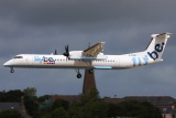 Landing 27 (Spot 1) |
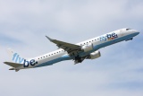 Takeoff 09 (Spot 1) Takeoff 09 (Spot 1) |
 Vacating 09 (Spot 1) Vacating 09 (Spot 1) |
 Taxiing to Gate (Spot 2) Taxiing to Gate (Spot 2) |
Guernsey (GCI/EGJB)
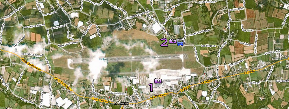 Click on map to view it in Google Maps, where you can zoom in.
Guernsey Airport, in the southwestern part of the island, is the number 2 behind Jersey and the official hub of Aurigny, operating with 3 ATR-72 and 8 Trislanders. The airport is connected to the main town, St. Peter Port, by two bus lines: Bus Nr. 7 (7A from airport to town) runs along the main road while Bus Nr. 4 routes via the hinterland, passing another good spotting point. Hotel tip: The "Yacht Inn" in St. Peter Port. It's located just by the main bus terminal in the heart of town, which is extremely convenient.
- Traffic: Not as much as Jersey, and basically props only: Aurigny (ATR, Trislander), Blue Islands (JS32, D328, Trislander), Flybe
- Runways: Rwy08/26 is the only runway, with 26 in use most of the time.
- Spotting Points:
- 1: On the second floor of the terminal you'll find a huge panorama windows and also a small restaurant. While the light is basically good the whole day, the windows are rather dirty. You can see all parts of the apron; runway movements can be caught as well.
- 2: Great evening spot for Line-ups 27, good from about 4pm. This is a parking lot on the northern side of the beginning of Rwy27. The fence is only waist-high. To get there, you can take bus Nr.4 (not 7!) from town or airport. Walking from the terminal would take around 15mins. Offers views of landings and line-ups and limited views of the apron (enough to just read off regs though).
 Taxiing (Spot 1) Taxiing (Spot 1) |
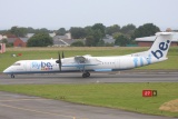 Runway movements (Spot 1) Runway movements (Spot 1) |
 Line-up 27 (Spot 2) |
 Landing 27 (Spot 2) Landing 27 (Spot 2) |
 Mail plane on east apron (Spot 2) Mail plane on east apron (Spot 2) |
Alderney (ACI/EGJA)
 Click on map to view it in Google Maps, where you can zoom in.
Alderney is by far the smallest airport of the three and is only served by Trislanders. Located in the southwest of Alderney island, about a 15min walk from the town centre of St. Anne. No busses, but taxis waiting outside the terminal.
- Traffic: Only about 20 planes per day, 90% of the Aurigny trislanders to/from Guernsey and Southampton. Some Blue Islands Trislanders to Guernsey.
- Runways: The only concrete runway is 08/26, which is in use most of the time. In heavy crosswinds (above 25kts), some might use one of the grass runways, especially if they're light.
- Spotting Points:
- 1: At this point you are ideally positioned for all runways in use. You get 26 rotations, 08 touchdowns, and should also be able to catch movements on the grass runways. It's a 25min walk from the terminal to the old VOR station, a round building (marked with a sun on the map). From there you can walk through the fields towards the tower in the back, until you stumble upon the fence (about 100m). Only limited views of apron, since the view's obstructed by the runway which is sitting a bit above the apron.
- 2: Great spot if Rwy26 is in use. Here you're very close (approx. 20m) to the end of the runway, and will therefore be close to backtracks and landings. 20min walk from the terminal.
 Roll-out after landing 26 Roll-out after landing 26 |
 Takeoff 26 Takeoff 26 |
 Rotating Rwy26 (all Spot 1) |
