So buckle up for the milkman's run - a nickname this route got by the crews who fly it, since it stops in all the small villages along the way from Seattle to Anchorage.

Here's the complete GPS log: [url]http://de.wikiloc.com/wikiloc/view.do?id=1184631[/url]
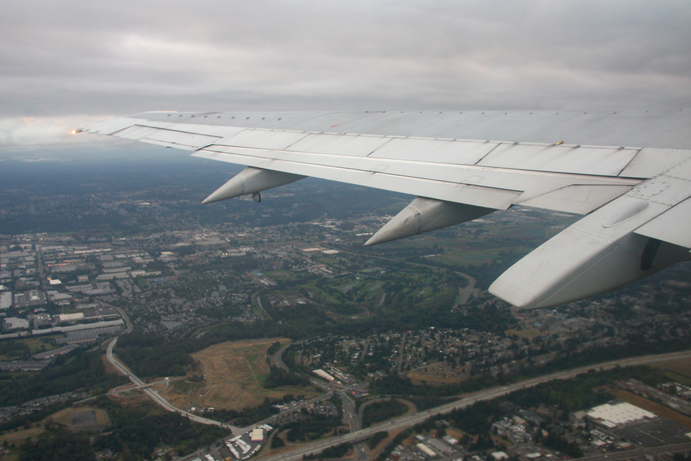
In the middle of the night I got up at my youth hostel in downtown Seattle and waited for the first bus to the airport - a frightening experience, but I survived. At 07.10, all passengers were aboard, and flight AS61's Boeing 737-400 lifted its nose from Runway 16L of the SeaTac Airport into the cloudly early morning sky.
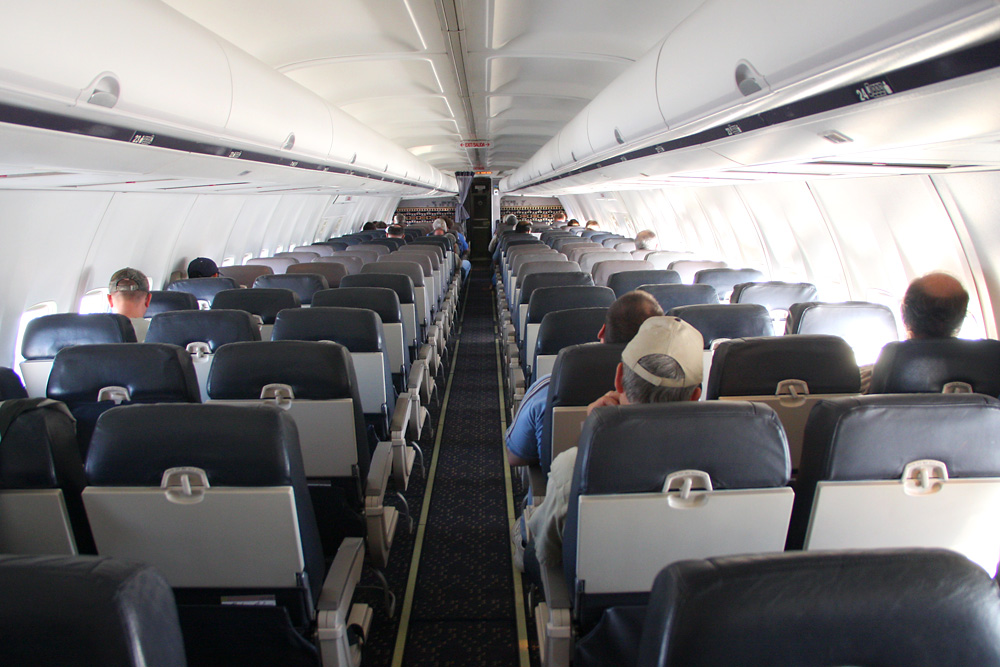
The first leg to Ketchikan was long enough to climb above the cloud cover - nothing to shoot pictures of there, except for the empty cabin. But the flight's part of the "Essential Air Service" programme - subsidised by the government to provide at least some connection to those villages along the way.
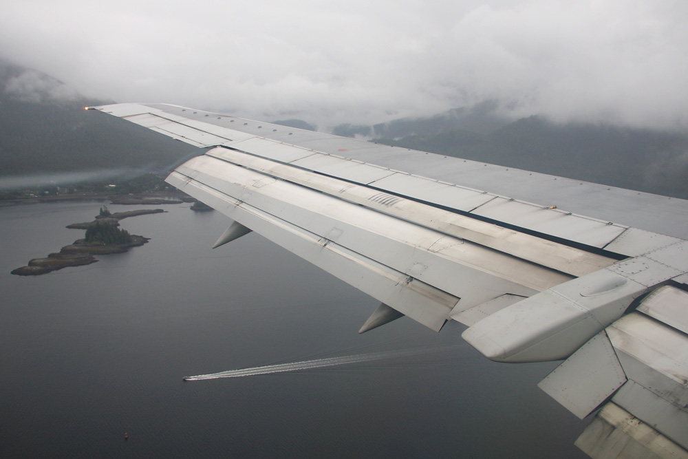
After catching some sleep, we're already in the approach to Ketchikan. The clouds seem to be stuck in the fjord, and we keep passing rain showers and patches of fog. Thanks to elaborate GPS Approaches, created in cooperation between Alaska Airlines and the government, this is nothing to worry about though. Gone are the days, where many flights a week couldn't land due to the high minimums of the old VOR approaches.
Welcome to Ketchikan, home to 7'000 people and an important stopping point for Cruise Ship tours, too. There's no road leading to the airport, it can only be reached by ferry.

The turnaround time is between 30 and 50 minutes. Enough time for a walk through the cabin - and to take a shot of another Bobby doing the trip in the other direction.

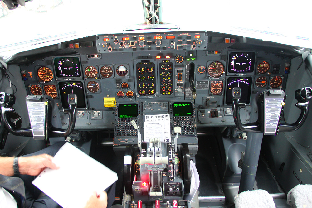
I also managed to start a conversation with the Captain of our flight, who gladly gives me a briefing about the routes and approaches to follow later on. Great service!
A last view of our Boeing...

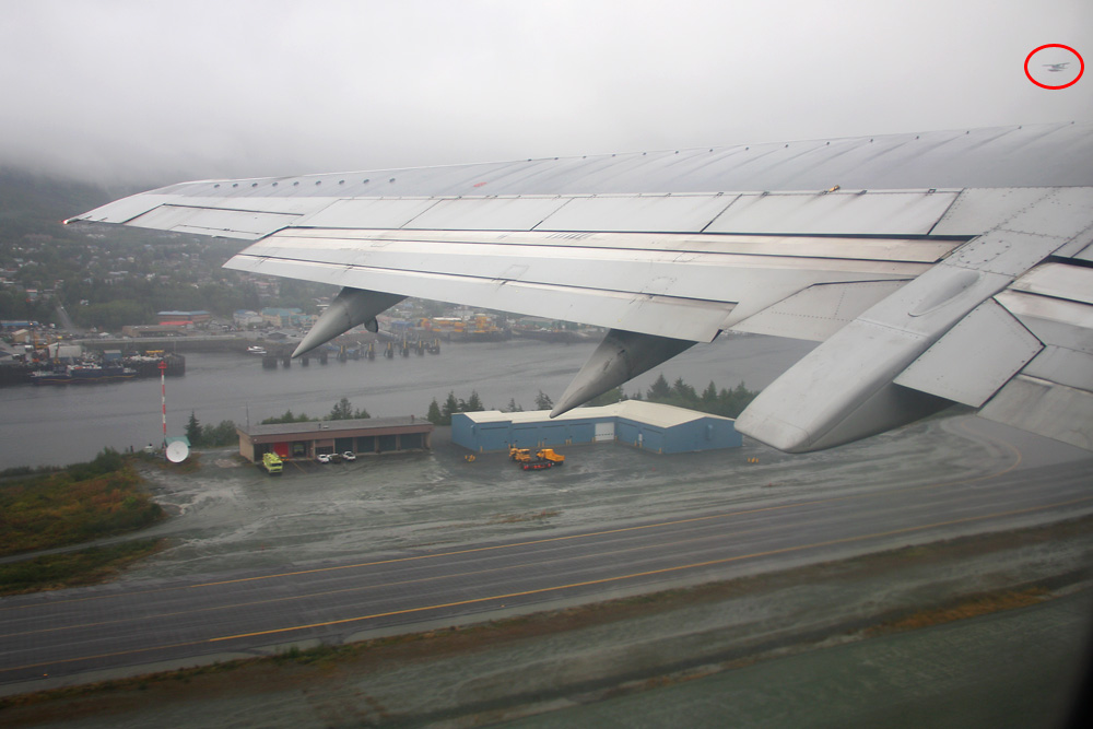
...before we're ready to leave Ketchikan. Note how close the seaplanes in their flight corridor are - their base is located directly at the main airport, and they take transfer passengers to all the lodges and communities out there.
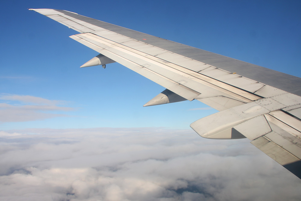
Another short trip to the blue sky: FL220 is the max for our half our flight
Next stop: Wrangell: The weather is slightly better here and allows some nice views. We're descending along the Sumner Strait, the fjord in which Wrangell is located.
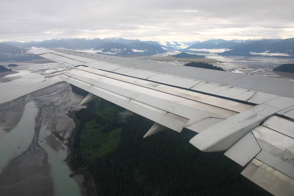
No surprise that this area is known as Misty Fjords!
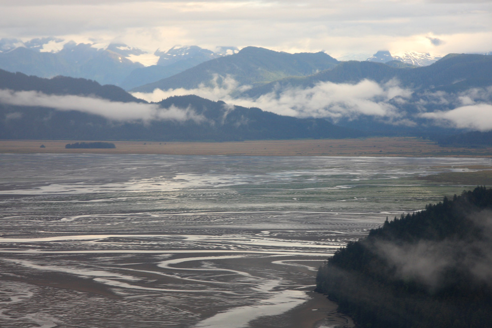
Looks like low-tide, large parts of the fjord appear to be dry
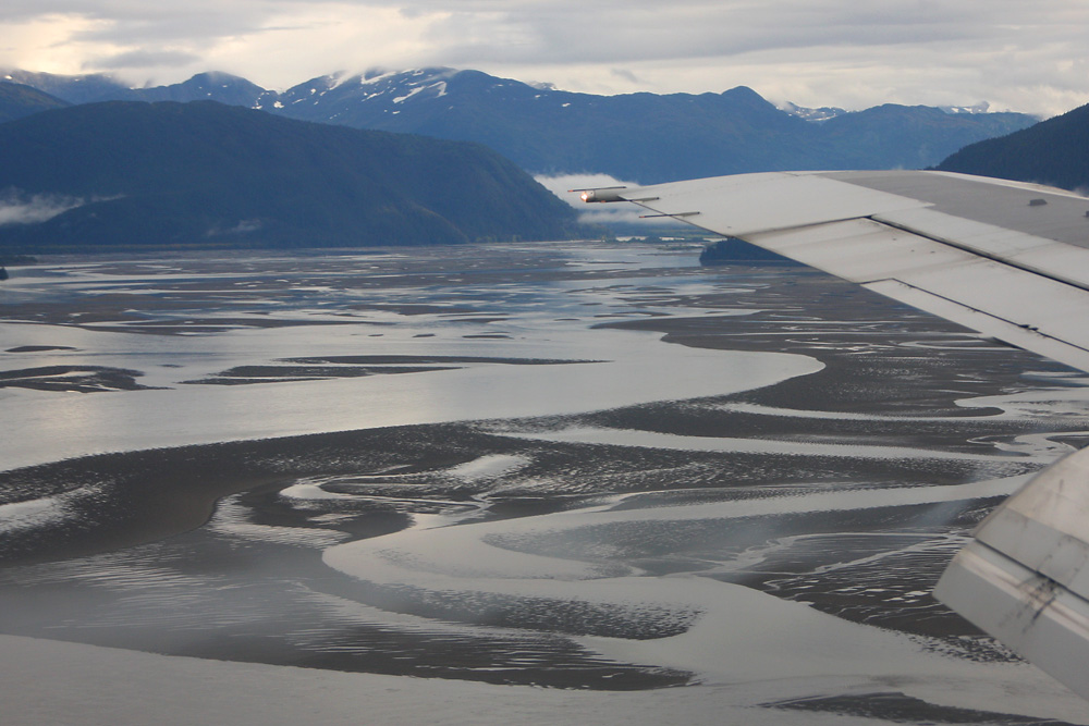
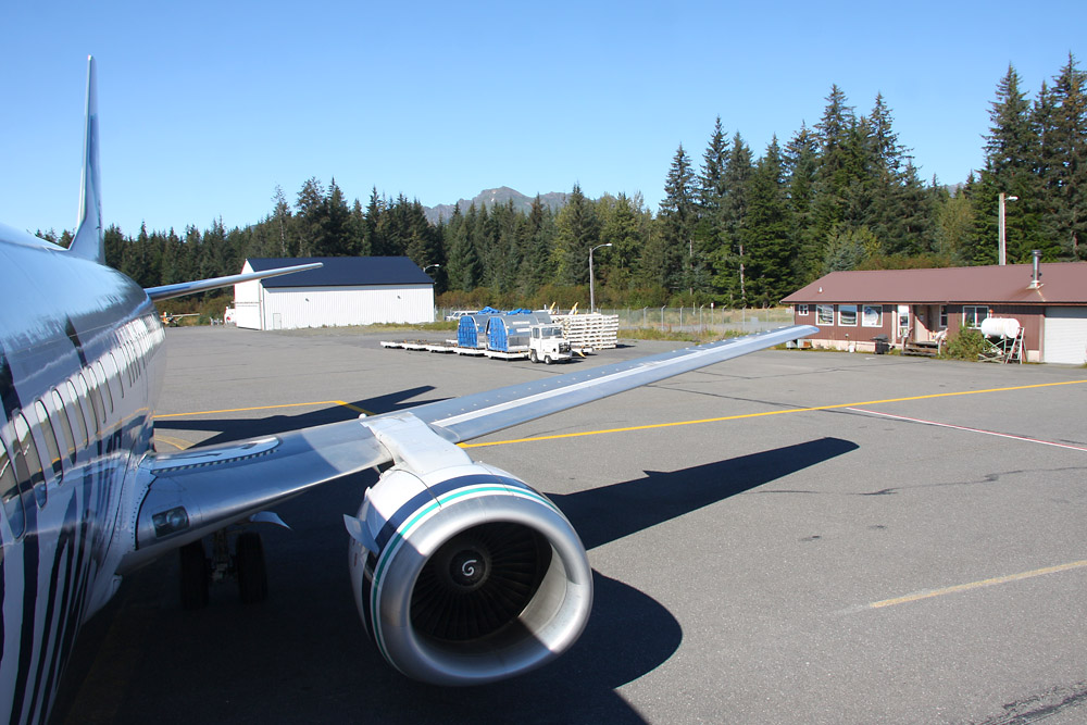
Welcome to Wrangell! With a runway located directly by the fjord, framed by high mountains, that's how I like it!
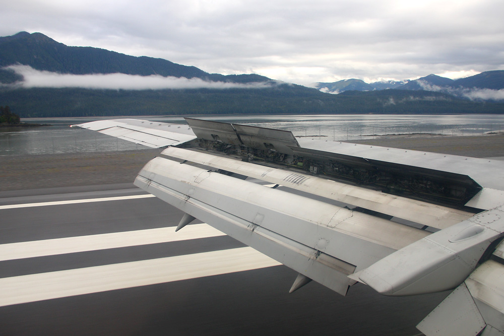
A mere 2'300 people live here - and they need no big terminal either!
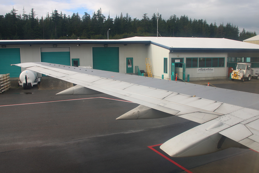
After this shot, the Captain offers to take me down to the tarmac, so I can take a shot of our plane and catch a glimpse of a certain mountain in the distance. How nice of him!
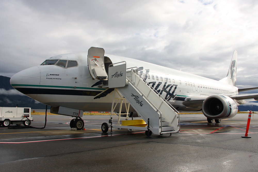
I had back to my seat, and to my big surprise, soon after, the Captain is standing in front of me again! Maybe he discovered my GPS watch and wants to kick me out of his plane here in the middle of nowhere? Nope. He just wanted to let me know that I should sit on the other side for the next leg of the flight, as it will have a better view. What a great service! Flying a plane with 150 people on board and taking his time to be my personal tour guide!
Okay, right hand side from now on, there you go!
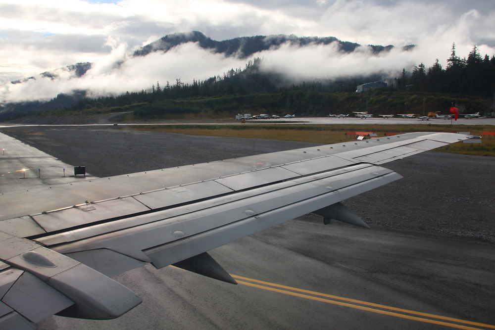
The next leg was an extremely special one: The flight to the nearby town of Petersburg takes only about 10 minutes - and whenever weather allows, it is flown VFR along the fjord, at an altitude of just 1'000 feet. Amazing! Nothing compared to earlier times, the Captain tells me: Back then, they used to include a little detour to a nearby glacier, letting the engines roar and hoping to see some chunks of ice fall of. However, the Bush pilots of the area didn't really appreciate the heavy metal flying in their backyards, and so the 737s are now limited to the main fjord. Nevertheless, a great experience!
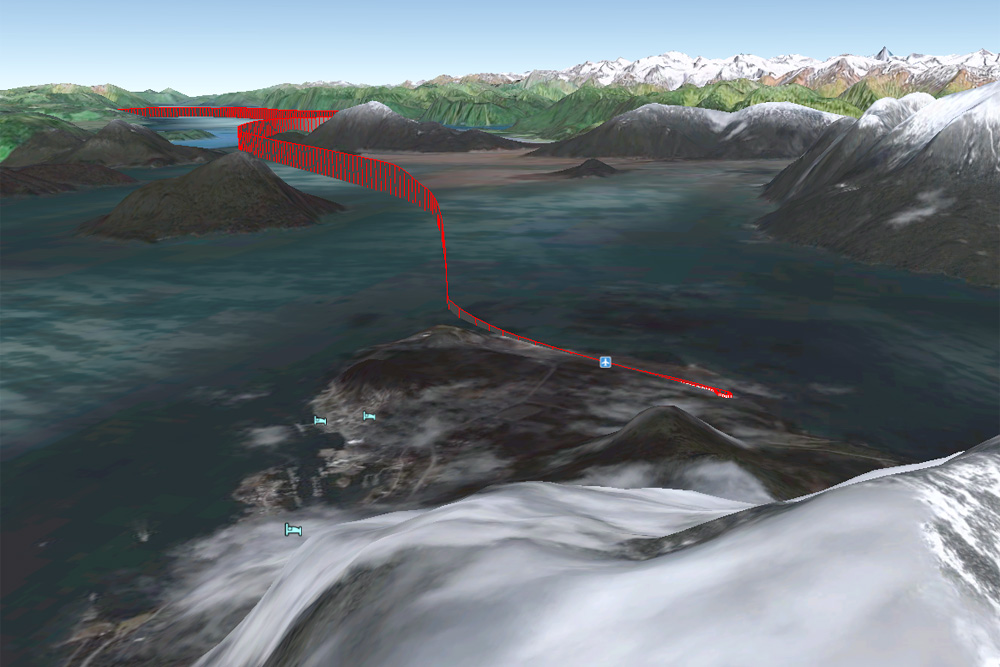
A few feet above the runway, we already turn right to follow the course of the fjord
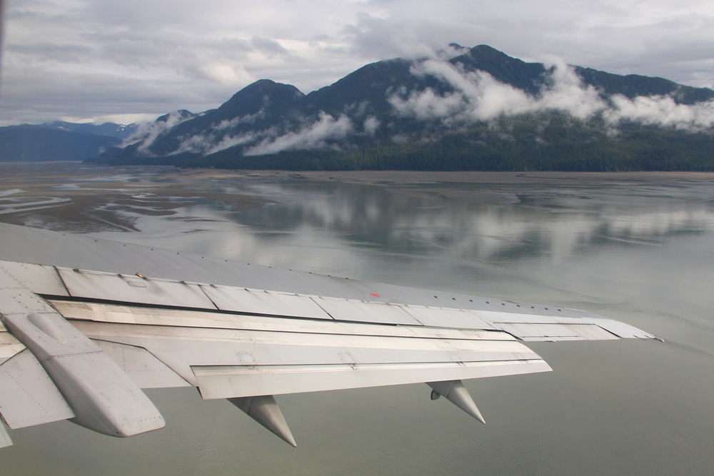
I'm no big fan of cloudy skies, but they're actually quite beneficial to the atmosphere here!
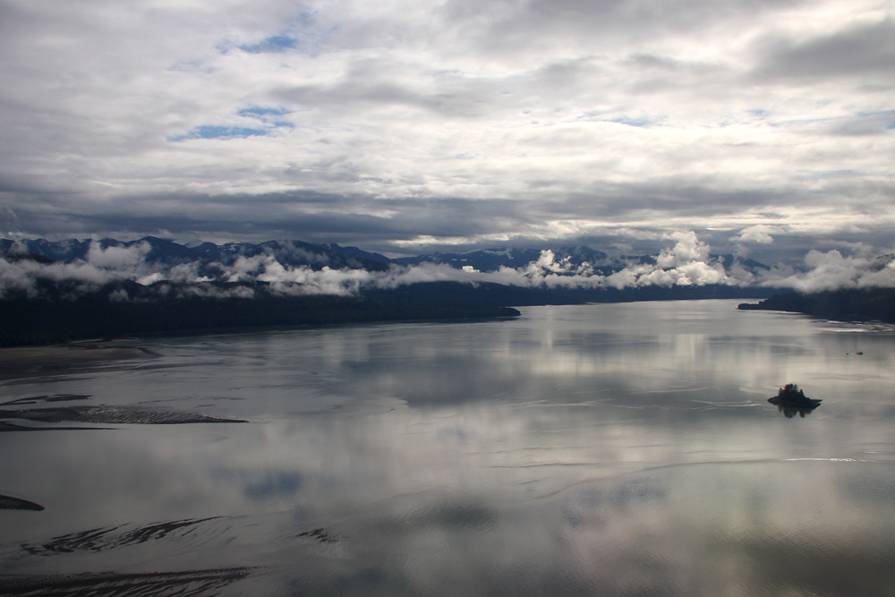
Doesn't look too bad!
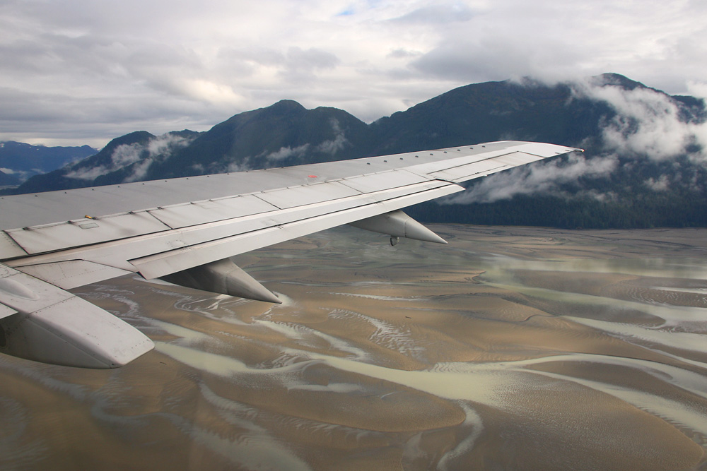
Wonderful!
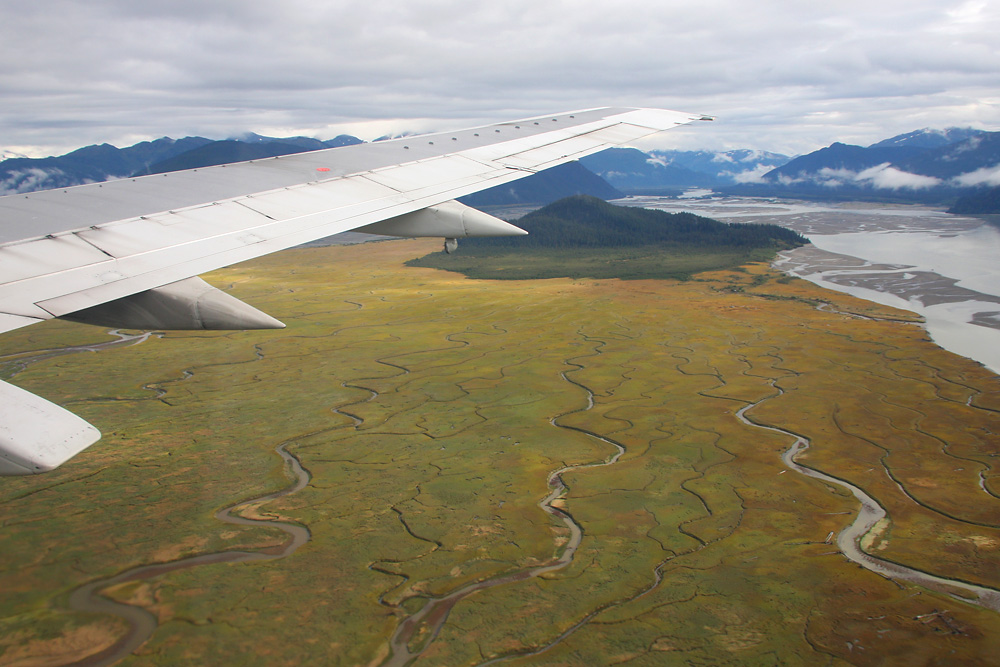
Wow, and it keeps getting better...
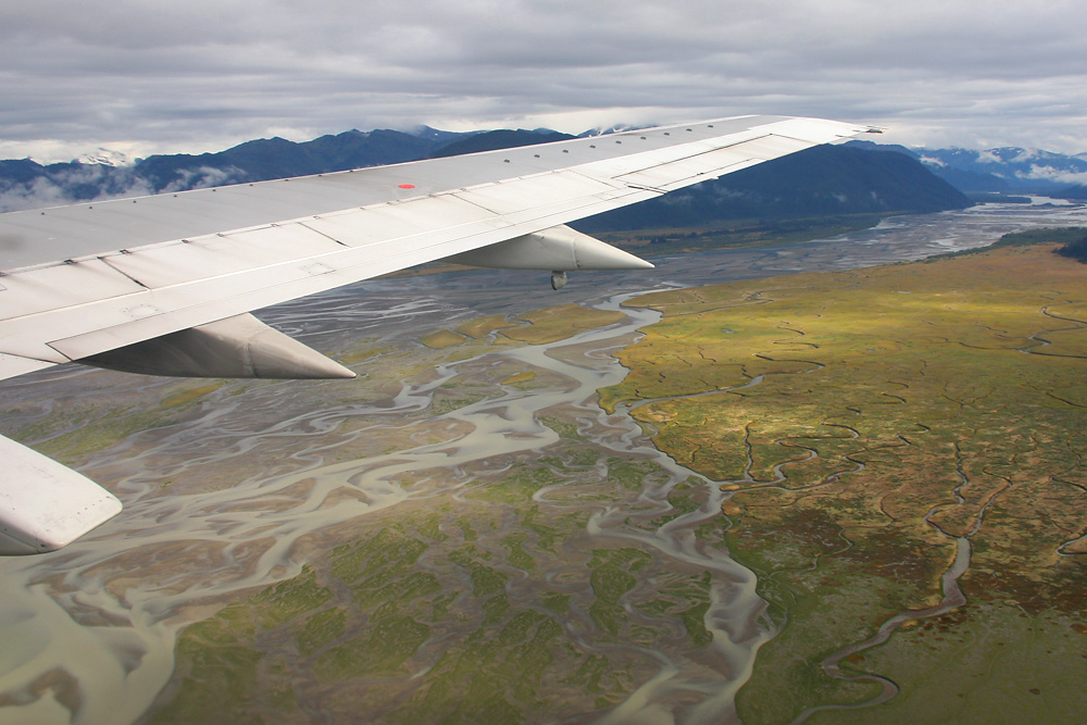
...and better! What a welcome to Alaska!
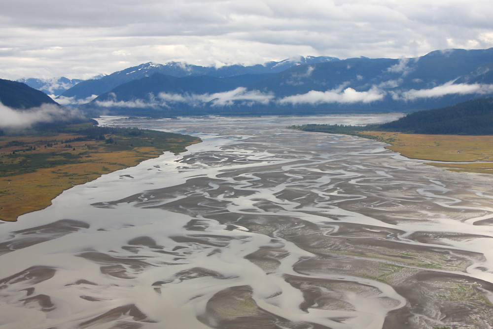
Rushing through a narrow fjord, with 250 knots of speed and 1'000 feet of altitude in a medium sized passenger jet. Does it get any better?
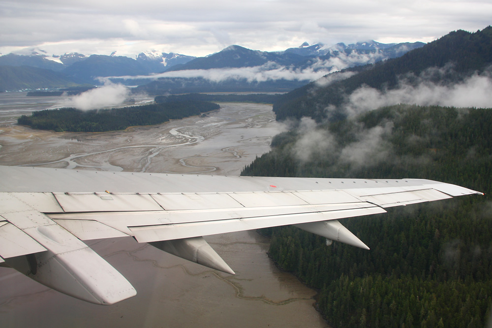
Here's the Glacier the Captain had talked about - including some mini icebergs on the water
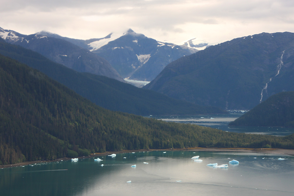
Wow!
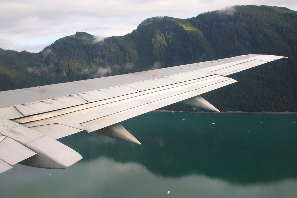
Aaaand, welcome to Petersburg! 3'000 people call this village their home, which was set up by the Norwegians
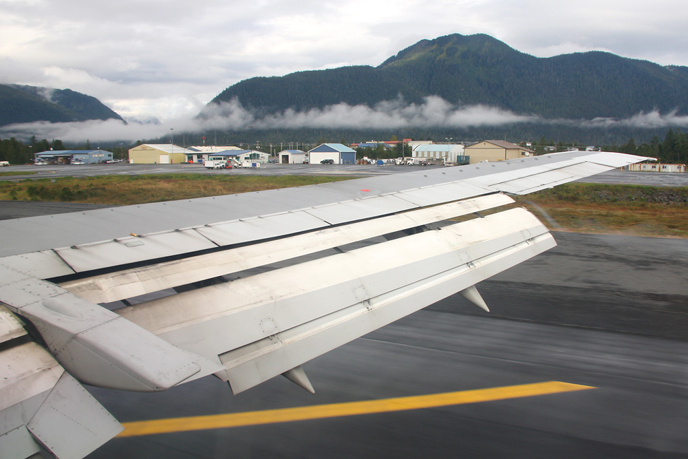
Another Terminal shot.

We leave Petersburg behind...
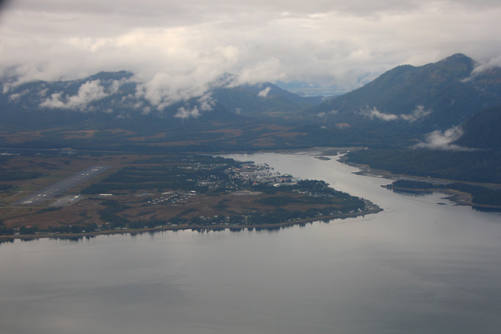
...and half an hour later, we're on finals for Rwy 08 at Juneau, Alaska's capital and its third-largest city accommodating 30'000 people. The little 20-degree turn only seconds before touchdown is a nice gimmick - yet still, this was the least spectacular of all possible Juneau approaches, thanks to the airport's location in a very narrow fjord.
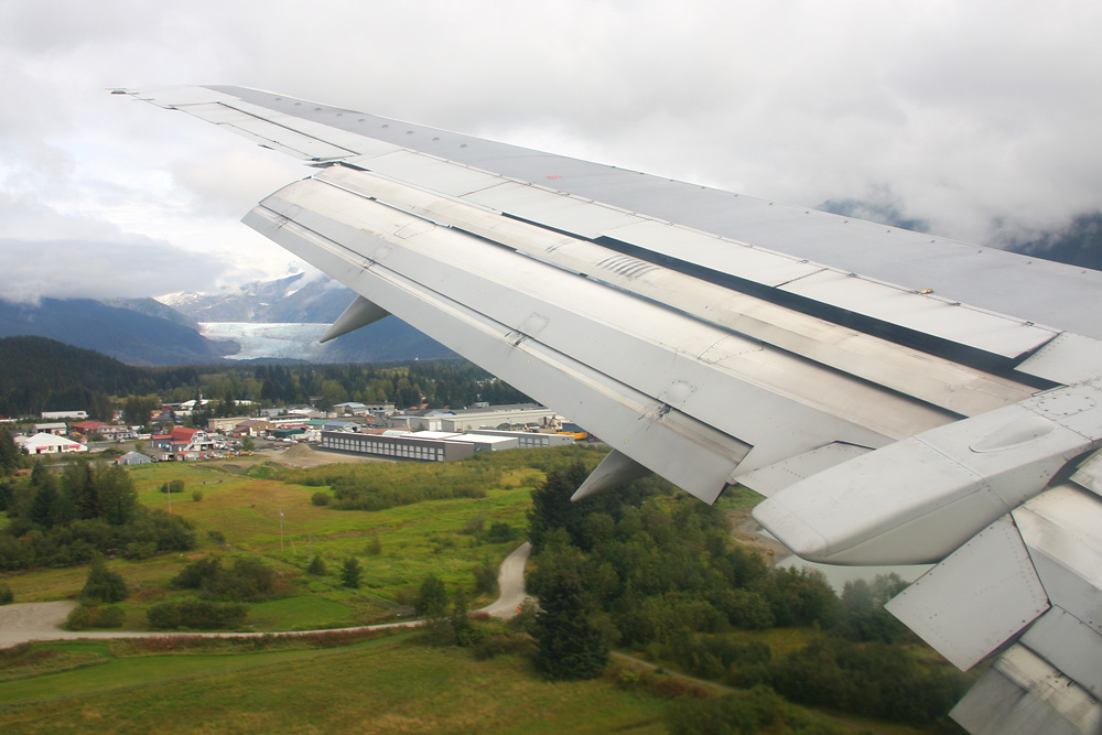
Here I had to bid farewell to my plane and my crew. But the adventure is far from over!
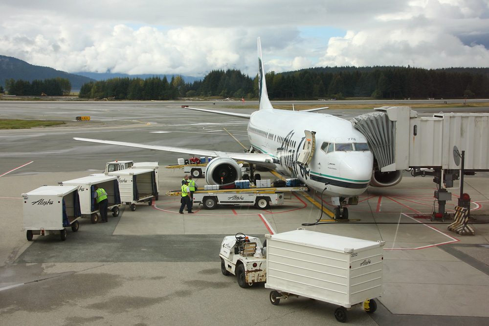
Next day: Same gate, same type, different rego. With a warm welcome from the Eskimo guy on the tail, I start the second part of the adventure. And despite the fog patches in the back, it was to be a gorgeous day!
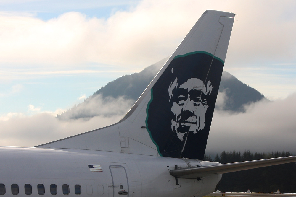
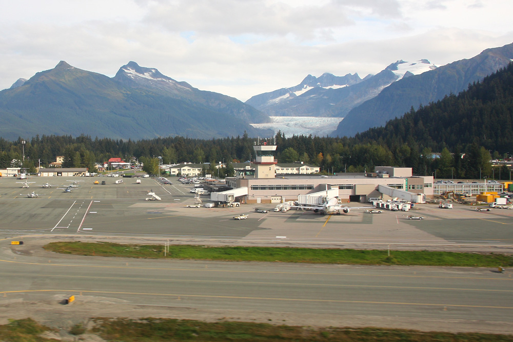
Au revoir, Juneau! In the back, one of its attractions, the Mendenhall Glacier, can be seen
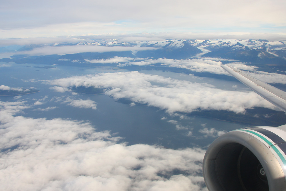
The cloud cover starts breaking up...
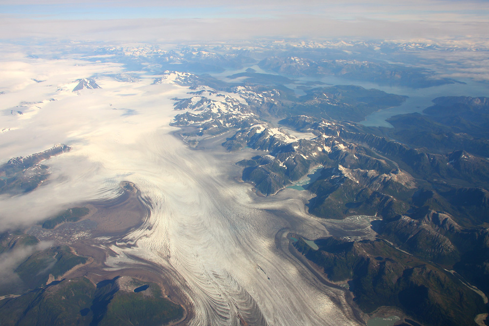
...just in time to see this huge field of ice. May I introduce: Brady Glacier - its 40 kilometers of length making it twice as long as any glacier in the European Alps!
We head for the coast, turn right a bit, and continue flying along America's western shores. The Pacific Ocean, glacier lakes and huge masses of ice on one shot - amazing!
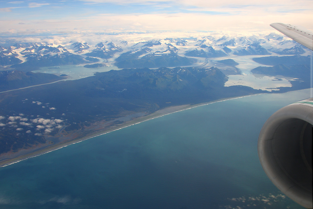
Where's ice, there's water. Sometimes a lot...
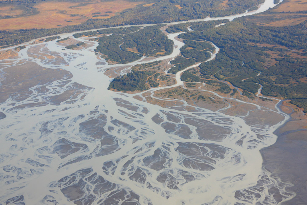
...sometimes a little
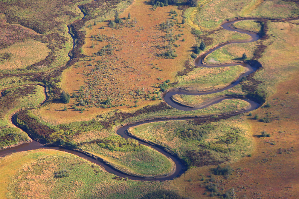
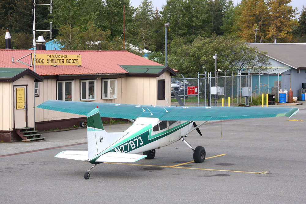
Here we are at the next airport on our route: Yakutat, home of 800 people, but annually welcoming thousands of hobby fisherman from the south. Food, shelter and booze, they've got it all!
On a sidenote: Yakutat has the strange fate of being threatened by one of the few advancing glaciers in the world. Its creeping towards the town about 2 meters per day, and will eventually cut off a fjord and thereby destroy important fishing grounds.
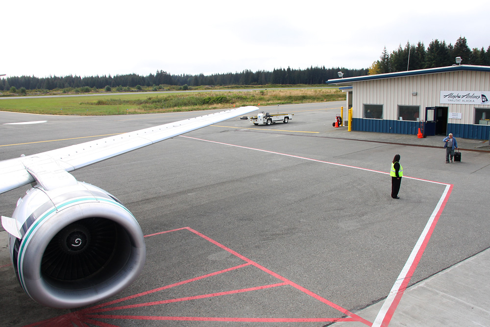
At the moment, fish is still big business here, and so it takes a full 45 minute to load dozens and dozens of packages of fresh fish. Off to Anchorage, and on to the whole wide world!

Meanwhile, I can shoot this 1952-built beauty from our plane's stairs
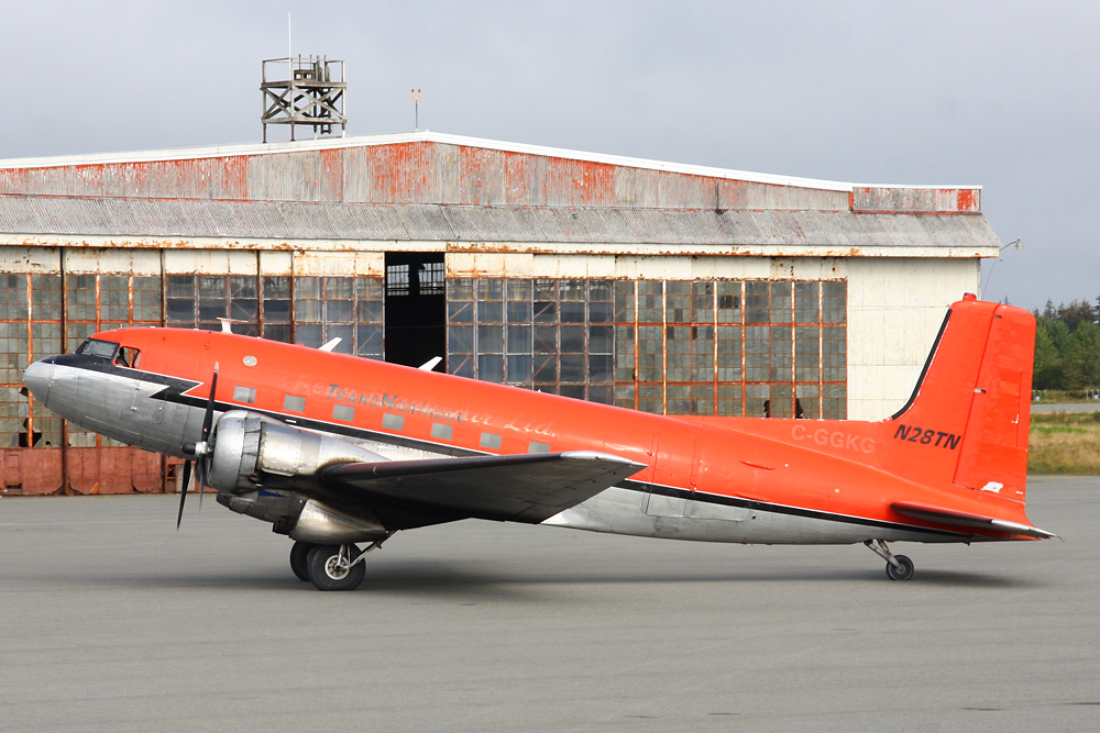
Finally, all the salmon has been loaded. A passionate fisherman from Oregon has sat down next to me, returning home after two weeks of fishing - taking 100 kilograms of Salmon with him. Off we go again!
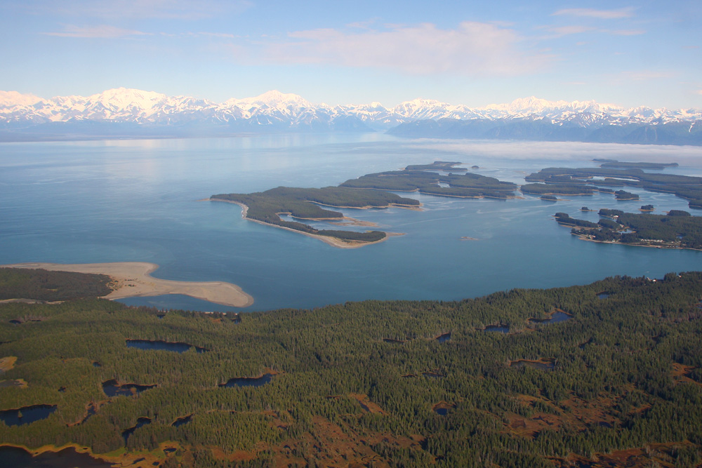
Beautiful!
Let's continue with snow and ice. New on offer: A pancake glacier! A glacier which isn't growing along a valley and thereby gets its usual shape, but just spreads without any boundaries in all directions. This one here's one of the last of its kind on earth, the Malaspina glacier - with a diameter of 35 kilometers. That's huge!
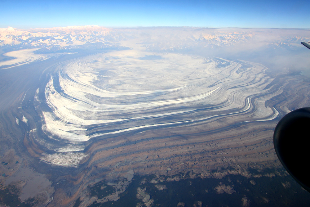
Nature's artwork
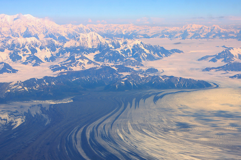
Some more glacier spotting: Okay, this guy here doesn't look too healthy
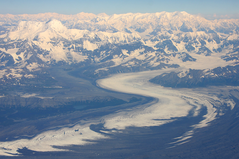
Meanwhile we're two hours out of Juneau, and we're marvelling at one huge glacier after another. Even for a Swiss guy, used to glaciers from home, this is an extremely overwhelming experience, which makes you feel pretty small and just stand in awe of the beauty of nature. At this spot, several glaciers meet the sea, which is why it's aptly called Icy Bay

An endless sea of ice - but that's just a small part of the Blagley Ice Field, which has a length of 200 kilometers and is about the size of the country of Luxembourg! The thinkness of the ice cover is believed to be more than 1 kilometer.
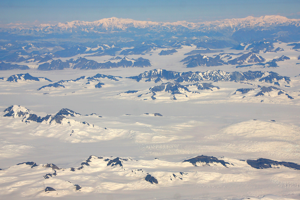
Once again the ice field, some cliffs, and the blue Pacific Ocean below. No words to describe the beauty of that!
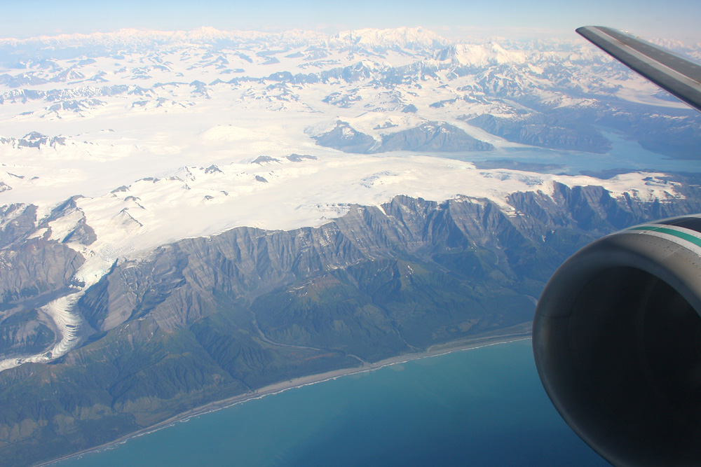
Aaaand, yet another glacier! And a big one at that. Called the Bering Glacier, it measures over 190 kilometers in length and is considered to be the largest glacier in Northern America
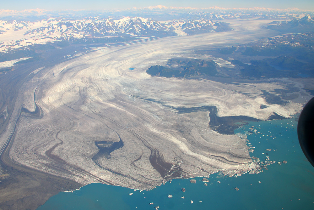
All the ice that breaks off the Bering Glaier per year amonts to about 10 times the lake of Zurich - which isn't too small a lake itself!
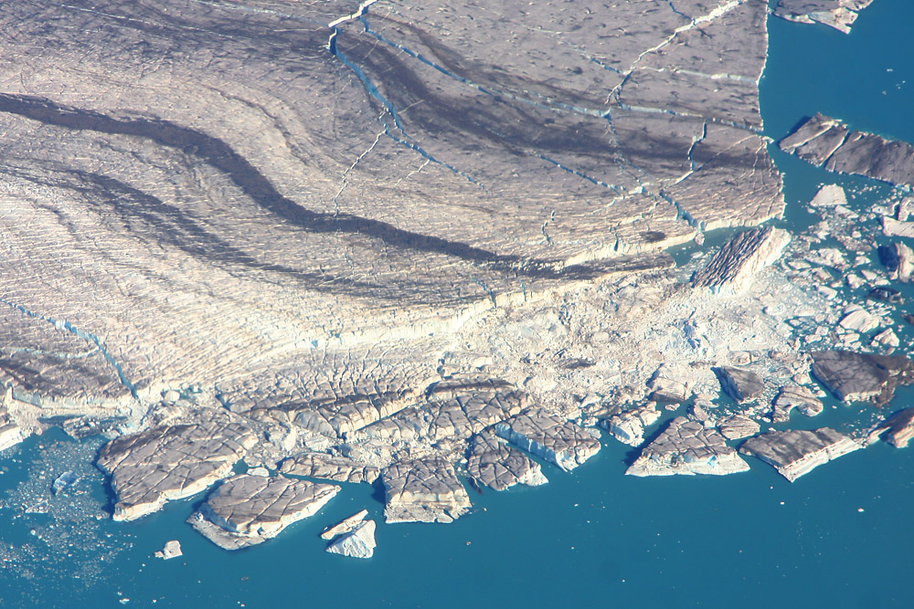
Aaaand, one more glacier. This poor fellow doesn't even have a name!
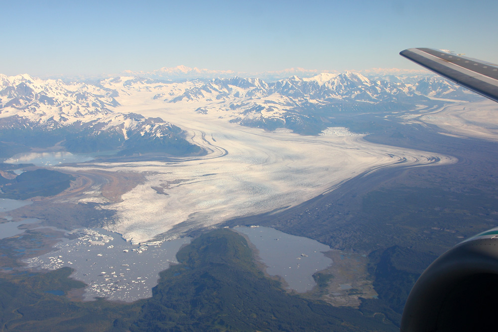
Something different than just glaciers
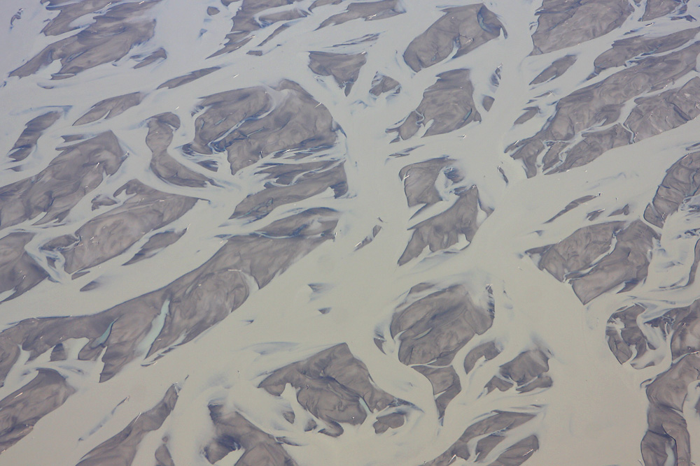
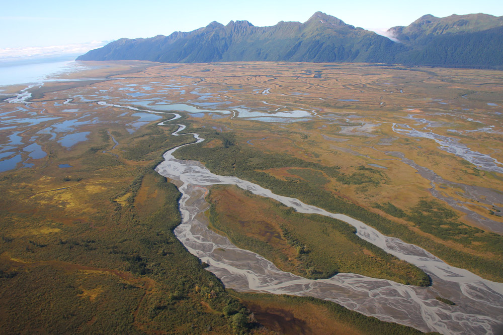
We're on the approach to our last intermediate stop, Cordova, located at the Copper Rier. That's this guy here...
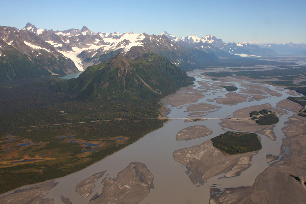
Even in green the scenery's pretty nice!
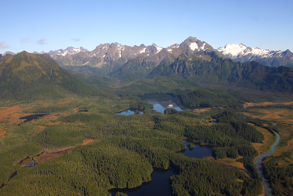
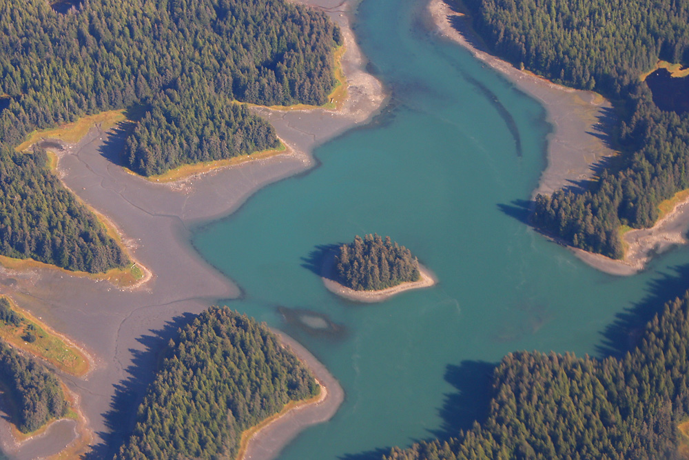
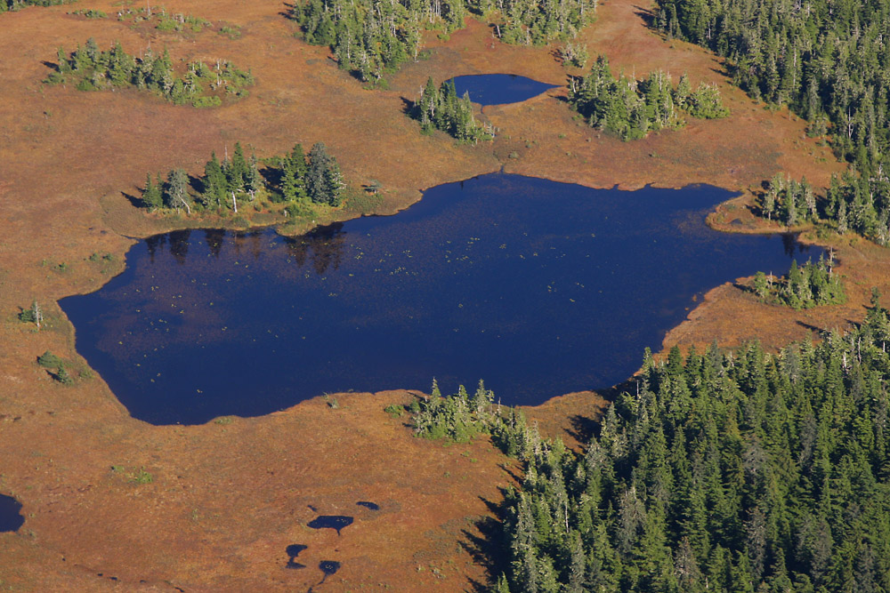
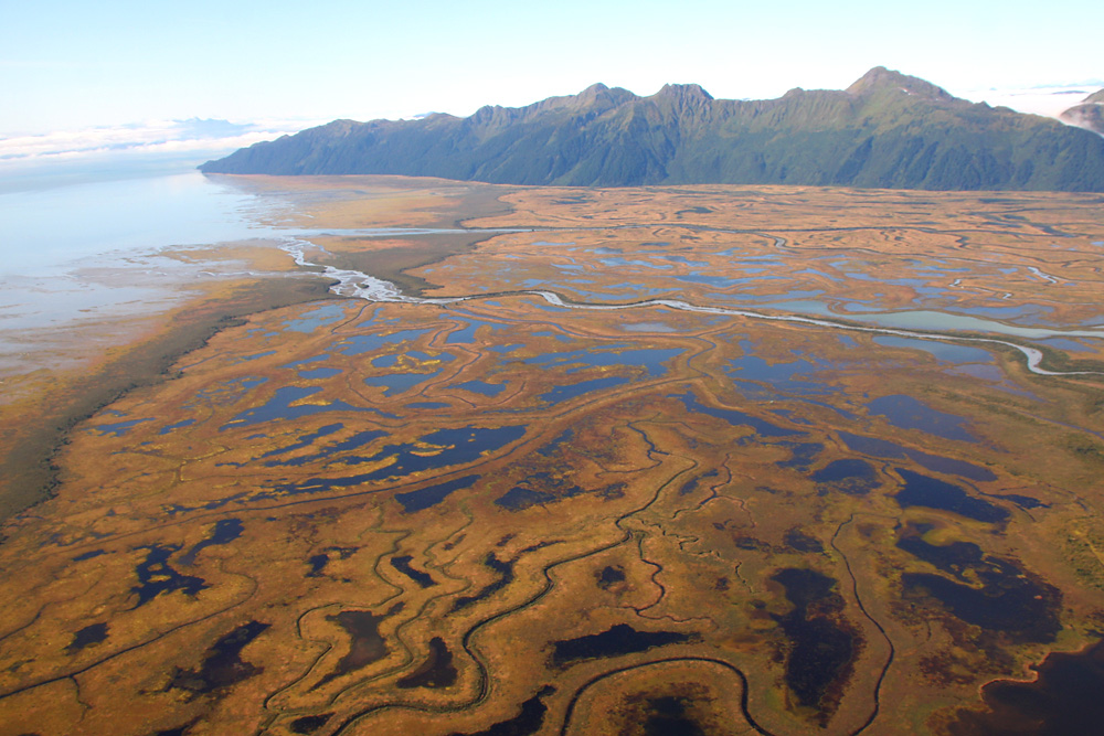
Hundreds of idyllic little lakes and ponds
And to top it off, green, white and turqoiuse in a great combination
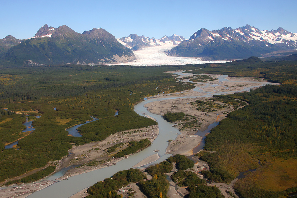
Welcome to Cordova, home to 2'3000 people. Its airport is named "Mudhole Smith", after one of the tough bush pilots based here. As legend has it, on one of his landings he got stuck in the mud in the middle of nowhere, and buried his Stearman nose-first in the dirt. Equipped with only a screwdriver, he spent the whole night cleaning the engine again, and finally managed to fly back to civilization the next morning. And that's just one of thousands of stories like this that've happened up here.
Nice water scenery!
Promised: The very last glacier for this report...
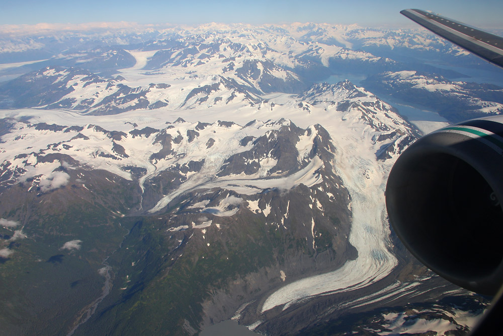
...and a mere eight minutes later, we're already on downwind for Anchorage's Runway 07L, following e heavy Korean Air Cargo 747. Left's the airport, the city's on the right. Finally we touch down at Ted Stevens International Airport - named after the politician and "father of Alaska", whose efforts finally made it possible for Alaska to gain statehood 50 years ago. Last year, Stevens died in a crash of his DHC-2 Beaver in Alaska - after already having survived a crash of his Learjet once, where he lost his wife.
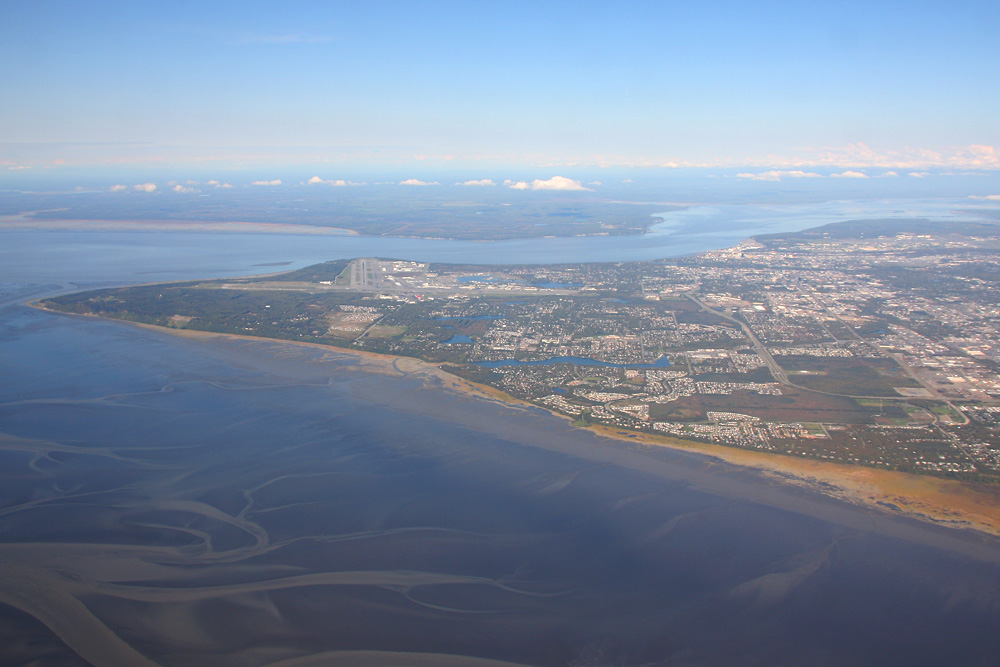
With all that adventure spirit in mind, I reach my destination for the day: The unique Lake Hood Inn, located right on the shores of the world's busiest seaplane base. What a great way to end this trip!
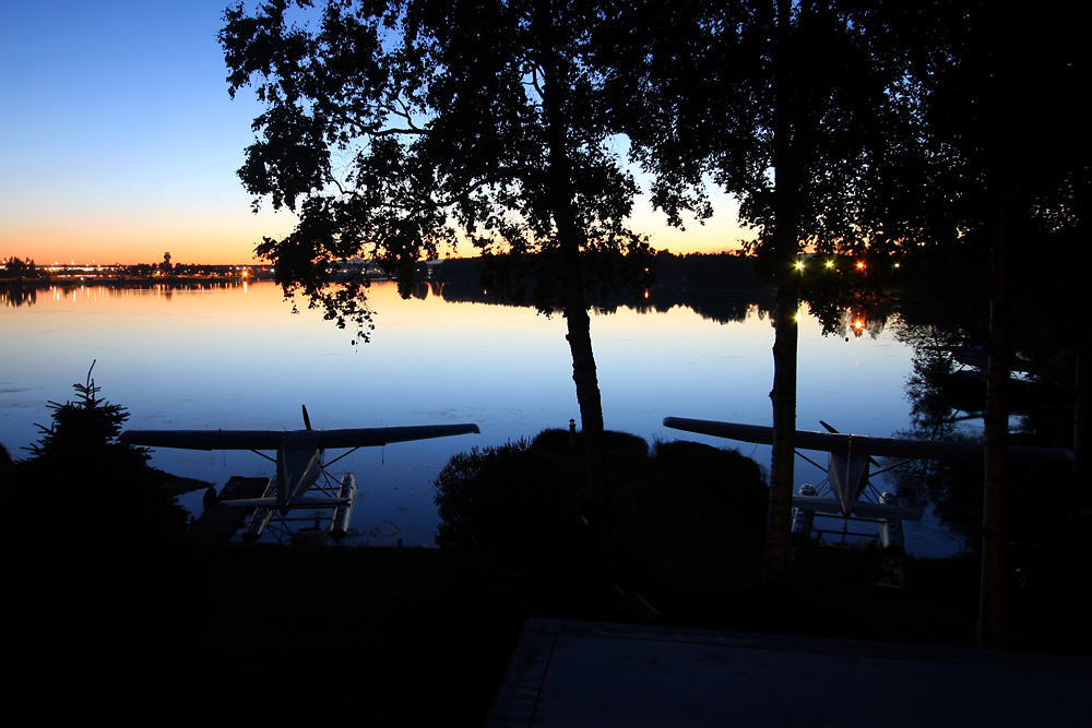
I hope you enjoyed reading this report. Despite being in a "boring" 737, this flight was one of the biggest highlights of my travelling life. However, to a large part, it depens on the weather. Imagine flying over all those glaciers and seeing nothing at all because of overcast skies. I was very lucky to get such a beautiful day up there - actually it was the first sunny day after a month of rain!
